


LIVE MAP HERE
A trip to Jourama Falls just south of Ingham and some shopping saw us ready to leave Ingham the next morning, the 4th July. We all agreed that we had become quite fond of Ingham which we found to be a very pleasant and welcoming town.
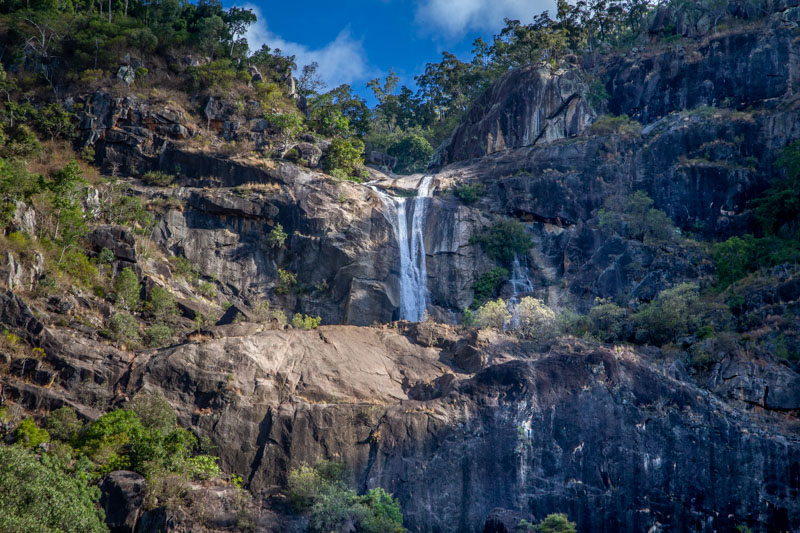
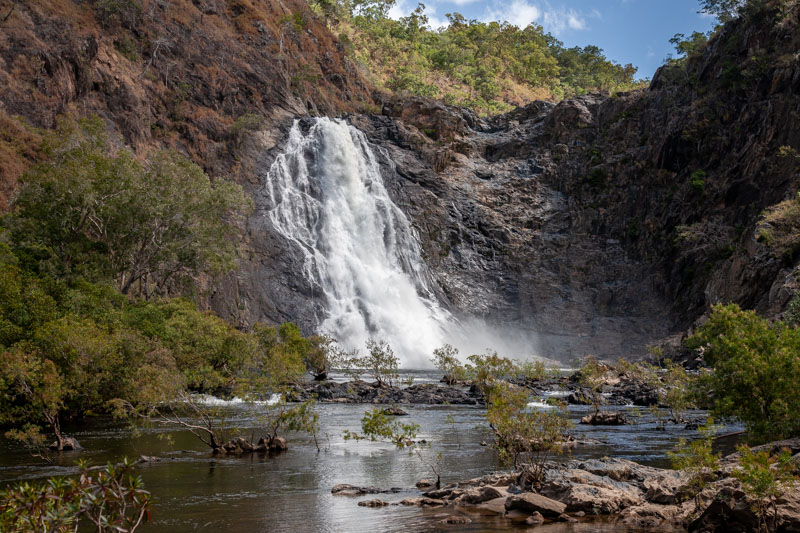
Jourama Falls
Downstream from Jourama Falss
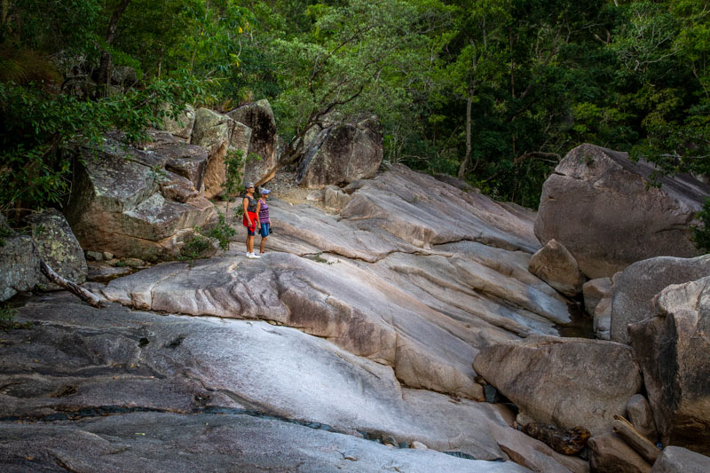
Chris and Di doing some exploring
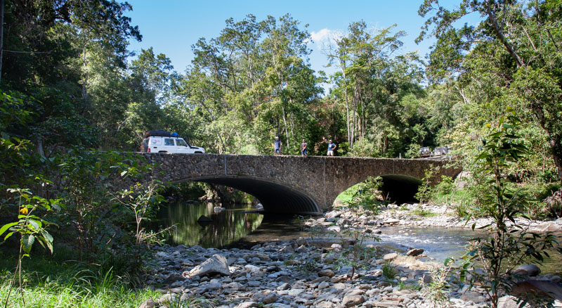
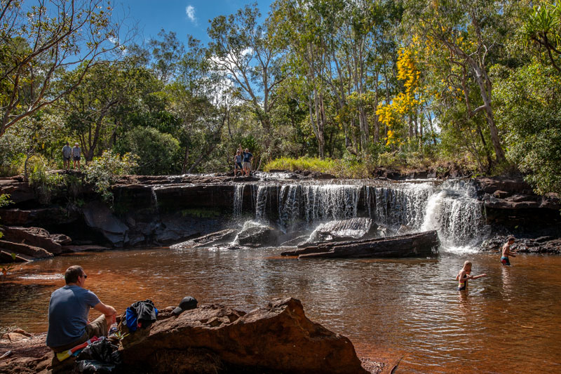
Harold and Di headed direct to Cairns for a service on his car while Chris and I made our own way to Port Douglas where we met up again on the 6th July. Chris and I were about 80 km north of Ingham when we noticed a sign into Murray Falls. We pulled over and rang the Caldwell Info Office and purchased a camping permit for 1 night.
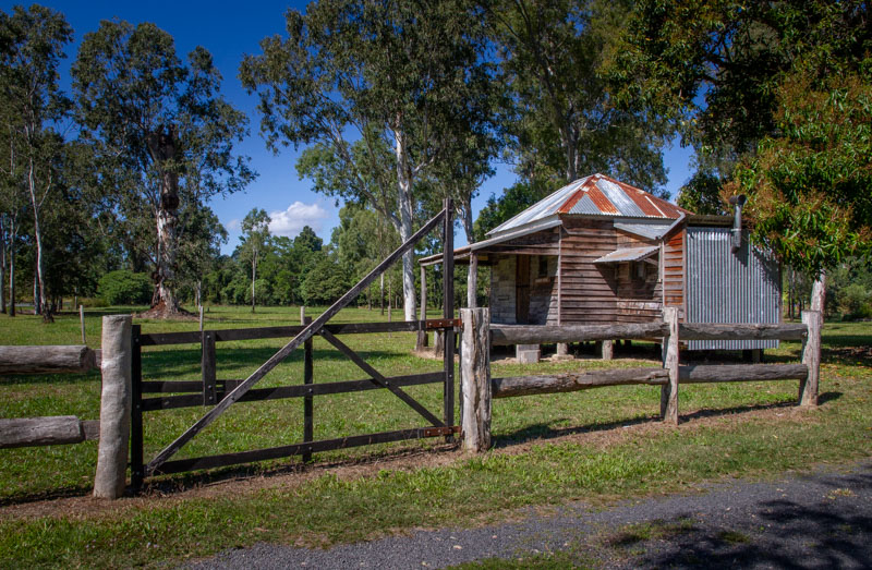
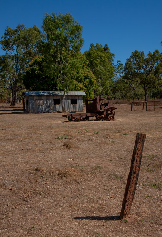
Historic House on the Bruce Hwy north of Ingham
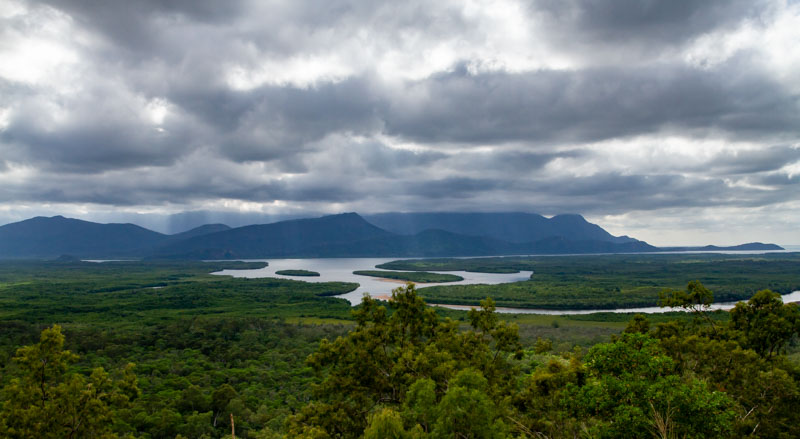
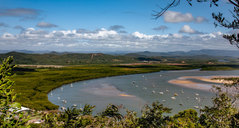
Hichinbrook Island NP from Bruce Hwy lookout.
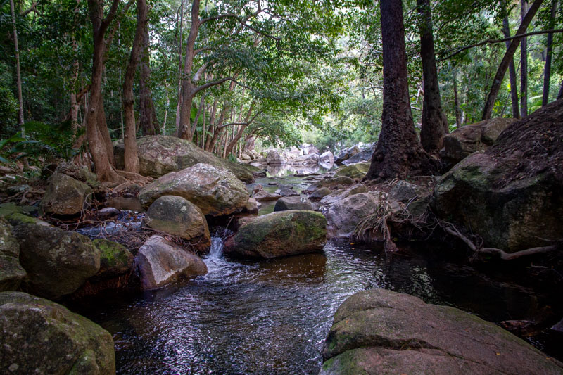
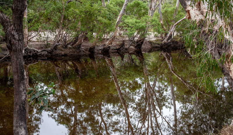
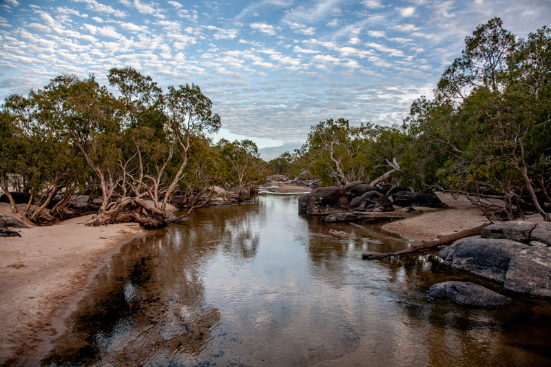
It turned out to be a great camp ground and there was a fabulous swimming hole not to mention fabulous water fall and an excellent walk to the top of the falls. We decided that we would like to chill out for 2 nights but only had a permit for 1 night and no phone cover. So we threw caution to the breeze and took our chances with a potential visit from the Park Ranger. As it turned out the ranger visited the 1st Day and when we explained our predicament she asked us to pay retrospectively when we had cover.
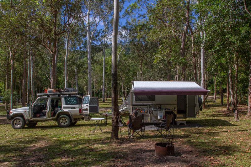
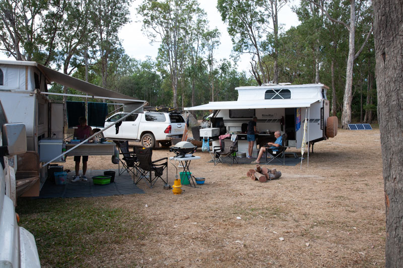
Murray Falls Camp
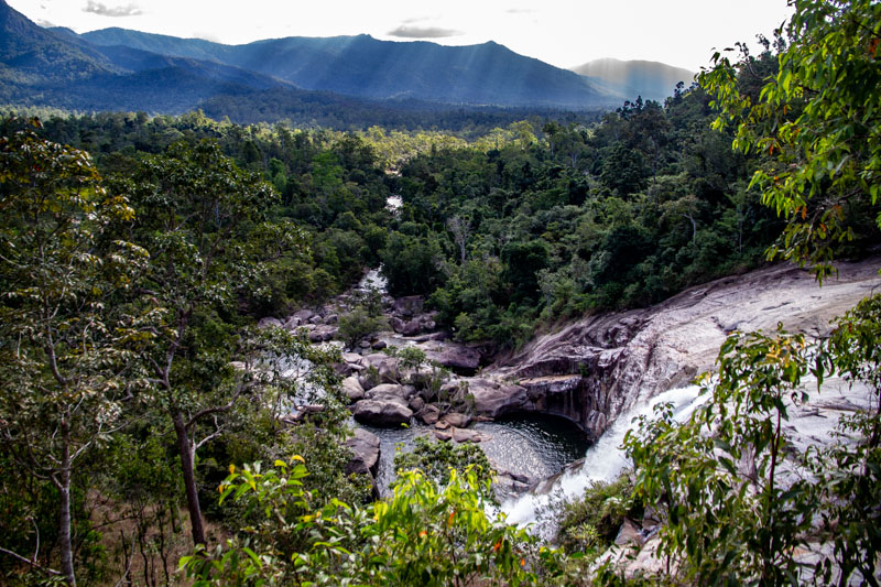
View from the top of Murray Falls
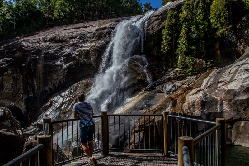
Murray Falls
We had a fabulous 2 days walking and reading and swimming. (No Crocs)
Subsequently on the 6th of July we hi-tailed it to Port Douglas not stopping at Cairns and we in fact arrived before Harold and Di. Chris and I booked into a caravan park just 7 km out of town. There was only space available in the overflow area which was to be expected considering that we were in the middle of QLD school holidays.
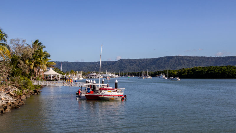
Port Douglas Harbour
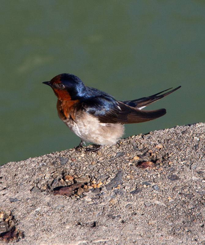
Pacific Swallow nesting under Port Douglas wharf
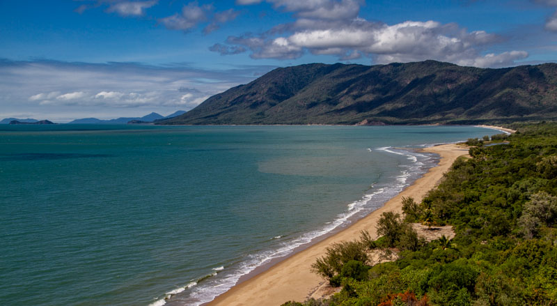
Oak Beach
After 3 days enjoying Port Douglas we headed for the Daintree National Park. This national park is only accessible from the South via ferry accross the Daintree River and there is no plan to change this despite the heavy demand. We waited in the ferry queue for an hour or more.
We were fortunate to book into a Camp ground about half way between the ferry and Cape Tribulation which we were able to use as a base for discovering the Daintree NP.
We were amazed by the hosts pet birds, in particular 3 Electus Parrots with very cheeky habits, that chose to sleep in their cages and sit on perches scattered around the office and restaurant. They did not have clipped wings and could quite freely fly around the rain forest. On one night while we were there one of the females decided to sleep in the forest for the night but returned home the following morning.
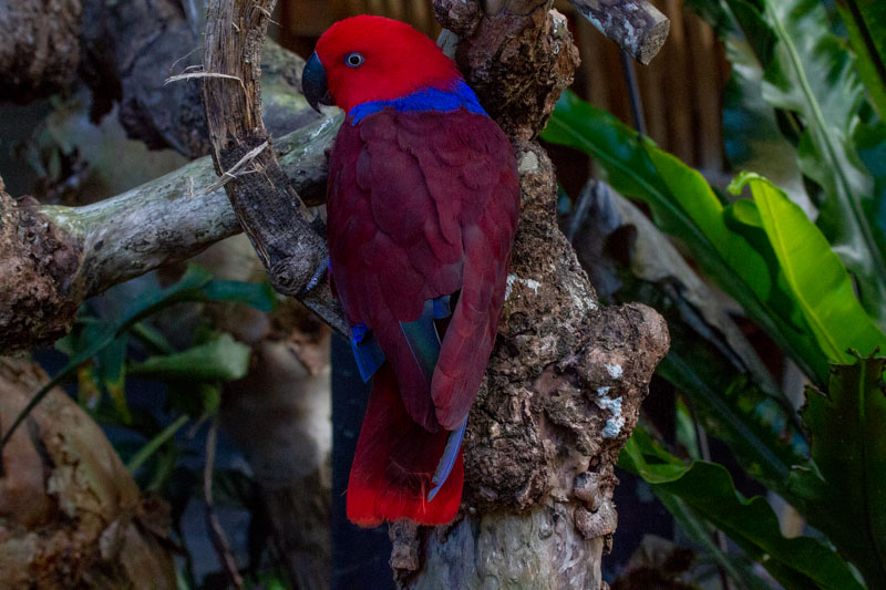
Female Eclectus Parrot
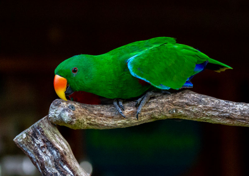
Male Eclectus Parrot
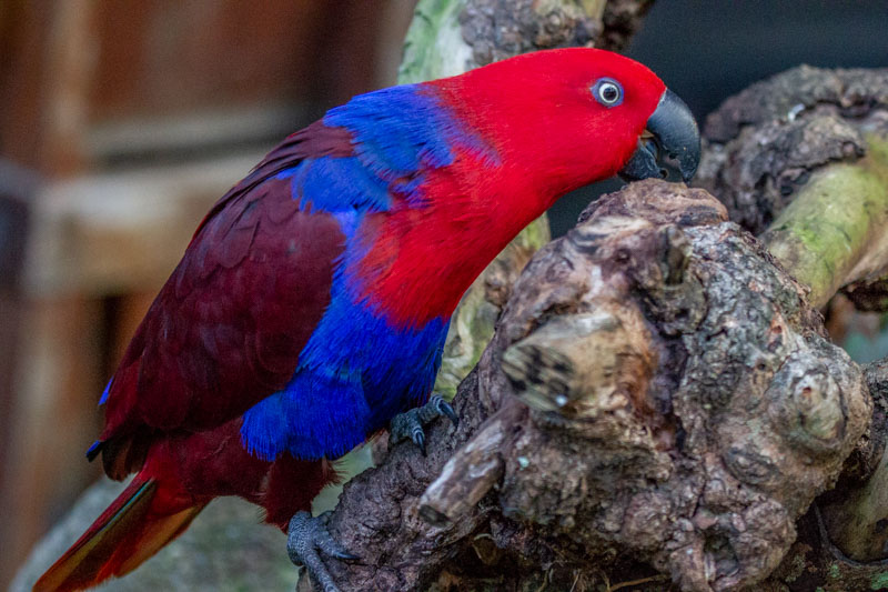
Female Eclectus Parrot
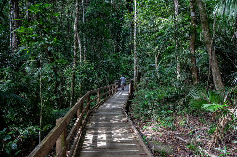
Jindalba Bordwalk – Daintree NP
Jindalba Boardwalk
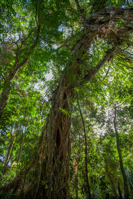
Strangling Fig
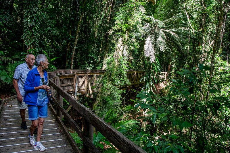
Chris and Di appreciating a giant
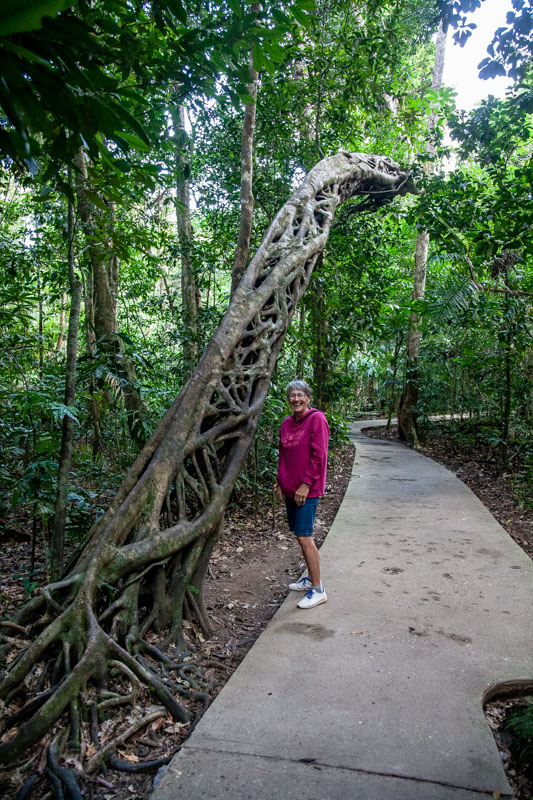
Strangling Fig with the host tree dead and gone leaving a lattice tube which continues to grow.
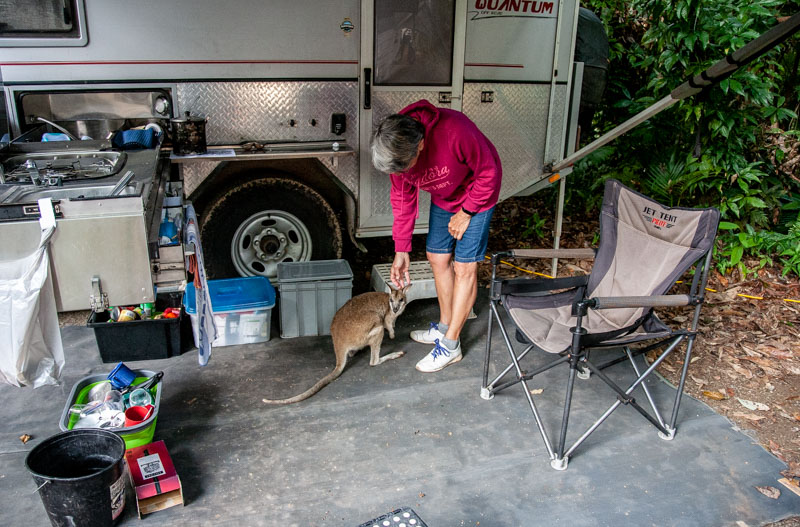
Visitor to our camp at Daintree camp ground
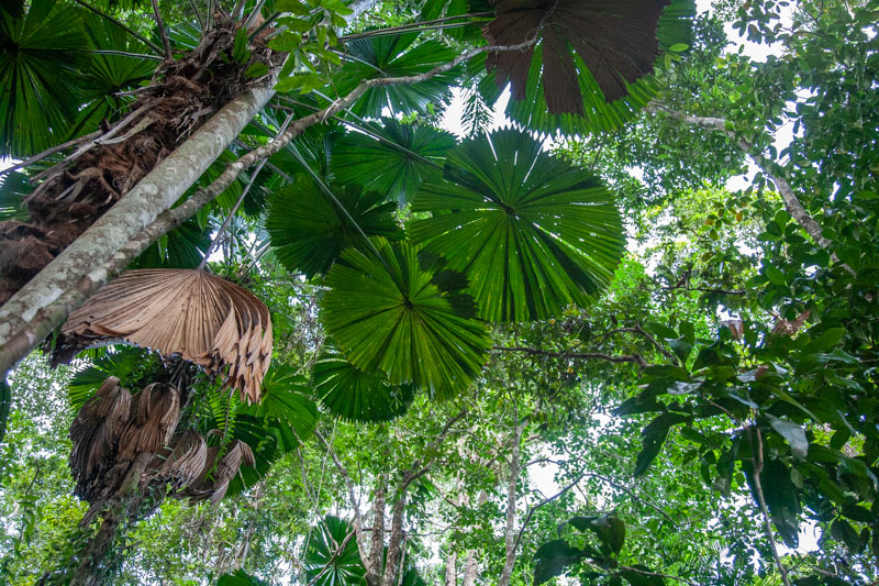
Fan Palm
After 2 nights we set off for Cooktown via the infamous “Bloomfield Track”. The Bloomfield Track is a sensational drive through rain-forest but the very long steep climbs and descents (33%) really tested out our rigs considering our campers are 2.2 to 2.5 tonne. Wet drum brakes from creek crossings did not make the downhills easy, resorting to low range gears to keep things tidy. At the end of the Bloomfield Track (with a required a visit to Bloomfield Falls), surprisingly is the small town of Bloomfield plus the aboriginal community of Wujal Wujal. We had heard that there was a “big salty” opposite “the boat ramp”. So we headed for the boat ramp for lunch and to check out the big croc. There he was with a steer in his gob (see photo).
An amazingly substantial bridge on the Bloomfield Track
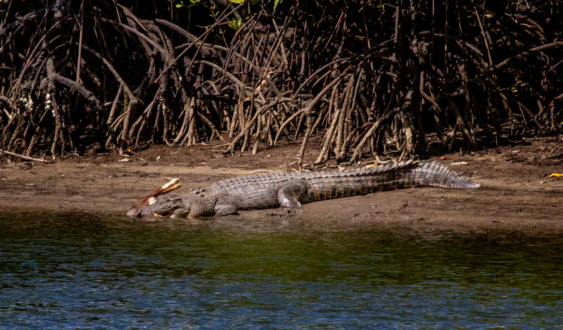
A huge salty with steer for dinner.
Bloomfield Falls
From Bloomfield it was a reasonably short drive to Cooktown.
Cooktown Harbour
On a recommendation from our hosts at the Lync-Haven camp ground in the Daintree, we stayed in the worst Caravan Park that one could possibly imagine. Anyway, despite this we survived 2 nights then headed for Lakefield National Park where we were booked into the Kalpower camp ground for 2 nights.
Small waterfall next to the road heading for Lakefield NP
Driving to Kalpower we dropped into the historic homestead of Old Laura.
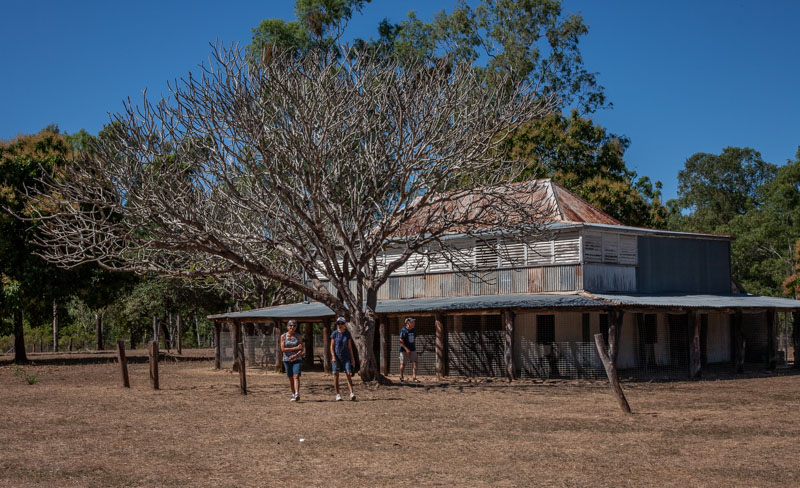
Old Laura Homestead Lakefield NP
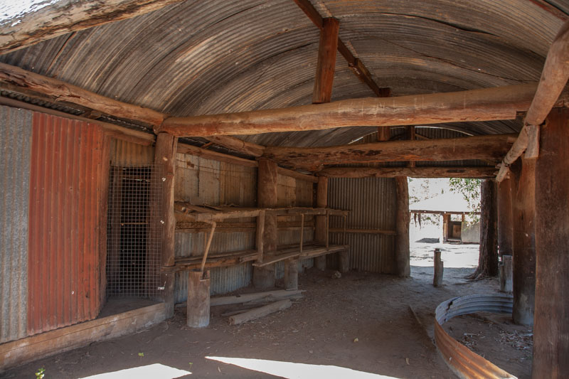
Old Laura Homestead Lakefield NP
Old Laura Homestead Lakefield NP
Our 2 nights at Kalpower were excellent. After Kalpower we decided to take the alternate route to Archer River Crossing via the Lilyvale and Port Stewart roads (including the Old Cohen Track. We had been advised by a number of people that these roads were far better than the main Peninsula Development Road. Yep, the roads were great even though they were still dirt but thankfully very few corrugations , but the decision to camp at Port Stewart was ill-founded. “DELIVERANCE” on the coast.
Perfect reflections
Abandonned mine – along old Cohen Track
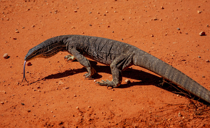
Sand Monitor – old Cohen Track
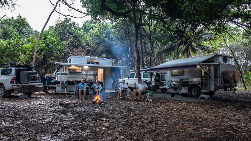
After the ordinary night at Port Stewart we Headed for Archer River roadhouse and camp ground (via Cohen for fuel). Arriving fairly early we were able to set up in a great spot, have a swim and relax.
Archer River
Archer River Camp
From Archer river we were able to book a camp spot for 1 night at Chili Beach on the east coast of the peninsula in the Iron Range NP. A very rough trip in and a very windy spot. It apparently has a reputation for always being windy.
Camped at Chili Beach
We visited the village of Portland Road. Confusingly, the road to Chili Beach is Portland Road Road.
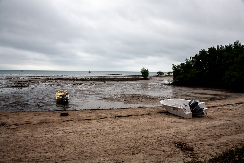
Portland Road bay
Our camp site was very dark in the middle of a stand of rain forest trees but we were well protected from the wind.
The following morning Harold and Di headed in to Lockhart River aboriginal town for fuel. We in the meantime took our time departing to give Harold and Di time to refuel and visit the health centre (Di has had a severe reaction to insect bights). We had to load all the alcohol into our car and camper as there were severe penalties ($40,000) if caught with alcohol in Lockhart River.
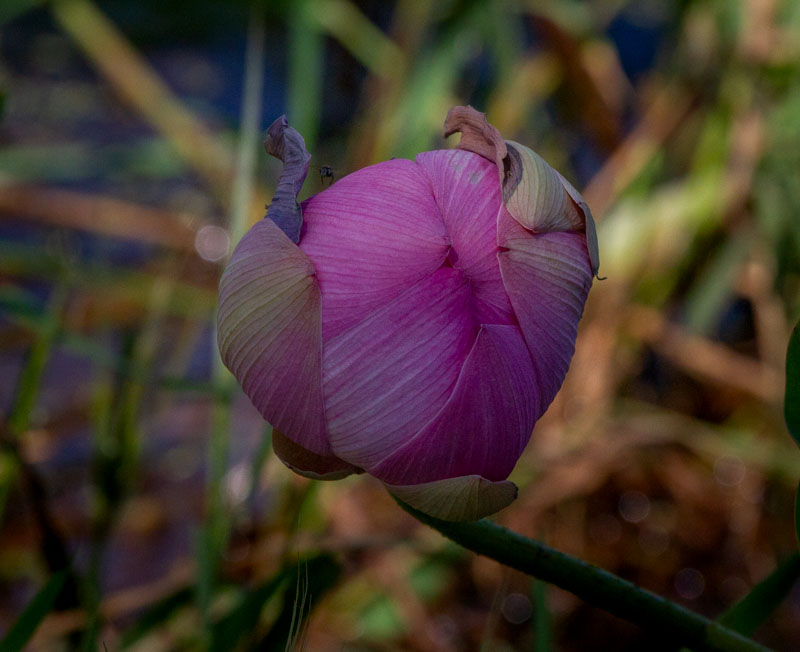
Lotus Flower bud – Red Lilly Billabong
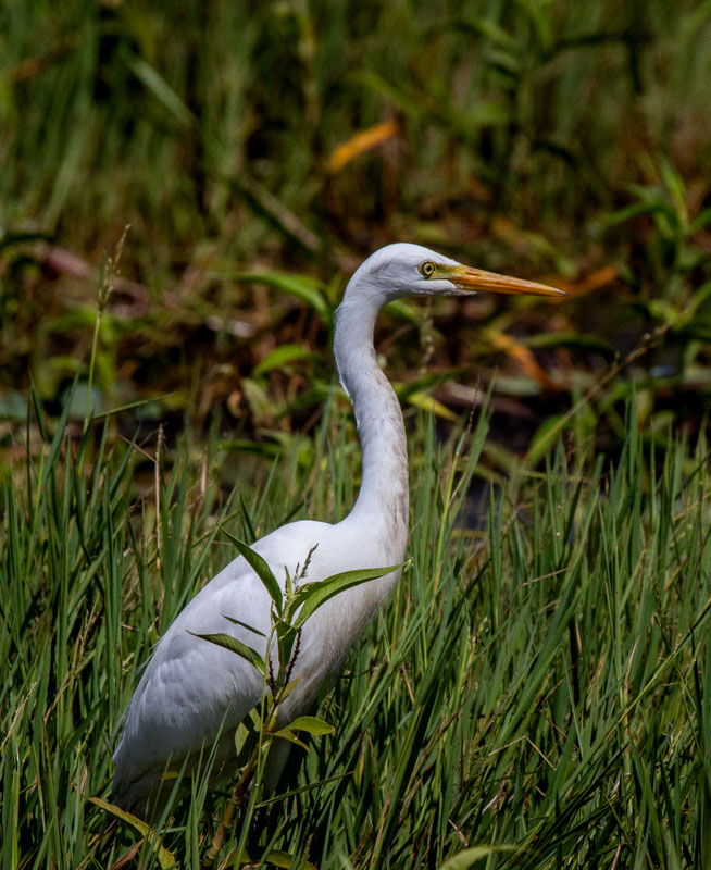
Great Egret
On our way back to the main road we bush camped on a river just outside the Aboriginal land near the Batavia Goldfields Ruins. A great spot that was tempting for us to stay 2 nights but decided to push on to Weipa the next day.
Don’t forget to check our live map here
Enough for now, we are in Weipa as I type this and heading north tomorrow morning.
Hi Graham
My father in law Charles Warren with Harry Evans
Using Mathews Flinders map Discovered Bauxsite at Weipa
and the pier there is named Evans Warf after Harry.
Hence Con Zinc Rio tinto, Not a bad discovery
Cliff McIver.
Cliff
We actually went on a boat trip from Evans landing.
Small world!!
Hi mate. In yepoon. Heading north. Great camp sites you have had. Cheers. Take care. Xx (for chris).
Another series of beautiful photos, thank you. I did notice that the Pacific Swallow has pigeon toes!! Obviously just the way he is standing on the ledge. Absolutely beautiful scenery trees, flowers, waterfalls, old homesteads – even managed Harold, Di, Chris and was that you in one photos? Keep up the great work – just love it all.
Thank you for the kind words.
I think you are mixing the Pacific Swallow with Harold.
Alex and I just went through the photos. Alex particularly liked the photo of Grandma with the wallaby at your camp site. Alex said “next time can we go with Grandma and Grandpa?” I can’t see why we can’t drop everything and go travelling for three months!! 😉