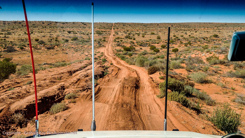
From Mount Dare to Dalhousie Springs is around 65 Km and we initially thought that we would possibly camp there for a night. The road from Mount Dare to Dalhousie is a shocker, scattered with large rocks and rocky outcrops. On arrival at Dalhousie, once again we were confronted by the reality of school holidays. A little early in the day to make camp anyway, we decided to back track a little and head down the Dalhousie – Hamilton HS road and check out the Dalhousie Station Ruins ( about 46 Km return). Then upon returning to the springs we would re-assess the situation and make a decision whether to push on into the desert or stay the night at Dalhousie Springs.
Well on our return to the springs there were even more people than when we first arrived, and so being true to our commitment of “bush camping” away from the crowds, we grabbed a quick lunch and then set off for the desert proper.
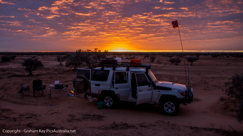
We arrived at Purni Bore, about a distance of 65 km and decided that we were in no hurry so made camp; it was around 4:00 pm and we stupidly thought that it was unlikely that we would get many more travellers making camp if any. Purni Bore is a designated camp spot with toilets and marks the start of the Simpson Desert sand ridges that run north to south (or more precisely NNW to SSE). Well we had once again misjudged the situation and by nightfall the camp ground was packed in like sardines. We fortunately had opted to get as far off the road as possible and found an excellent spot alongside the water away from the crowd. We did have to contend with people having a walk around the small lake and stumbling onto our camp spot, but that was only a small inconvenience and far preferable than being camped cheek to jowl with other campers.
The following morning we departed at a leisurely pace after spending some time chatting to other folk, setting off at around 10 am.
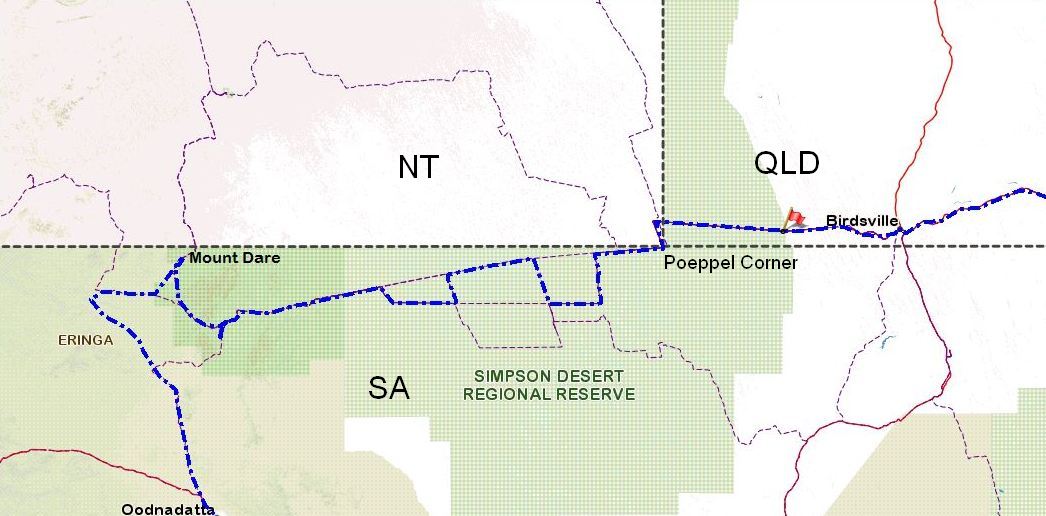
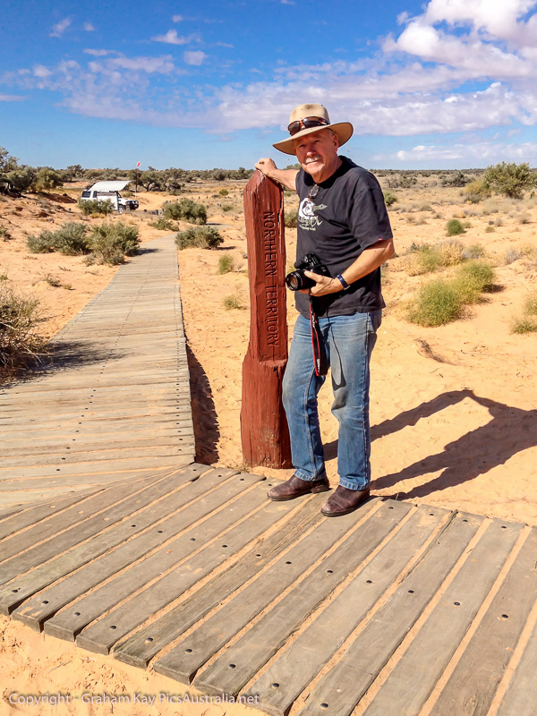
Before leaving Melbourne and after doing some research on the Explore Oz website I had plotted a path across the desert which apparently shows a good variety of the country and tracks. So we headed east along “The French Line” until the “Rig Road” where we turned south and then headed east once again until the “Colson Track” where we headed north returning to “The French Line”, turning east once again until the “Erabena Track”. Here we once again headed south to the “WAA Line” turned east and continued to “Knolls Track”. Turning north once more back to “The French Line” and then east to “Poeppel Corner” where QLD, SA and NT all meet. Then it was a simple matter of heading north to the “QAA Line” which heads east to “Big Red” and then Birdsville.
A slideshow of a selection of photos from our adventure I think speak for themselves.
So after 4½ days (4 nights) in the desert we finally had “Big Red” in our sights. “Big Red” being the final but largest dune to cross before Birdsville.
We arrived at Birdsville at around lunch time, filled up the car with diesel resulting in a very pleasant surprise. We had used 89 litres of fuel, way below the estimates that we had been given by various “experts”.
While re-inflating our tyres that we had let down to around 15psi for traversing the dunes, we caught sight of our mate Nicko exiting the Camp Ground. So we met up, had some lunch and reminisced over the fabulous 4 day experience of crossing the Simpson Desert.
Would I do it again? – in a heart beat, and I think Al would whole heartily agree.
Our destination that night to celebrate –
Next Post, Part 3; final – Innamincka, Tibooburra, Silverton and home.


It seems you two had an amazing trip through the dessert. We are definitely jealous and want be back to the beautiful outback!
Good to hear from you guys
What a great time you have had, Not many can claim that little Journy and what an experience you have had.
Cliff McIver
Thanks Cliff